The City of La Cañada Flintridge
Mike Kobeissi has worked the La Cañada Flintridge market for three decades. The city he works in was formed in 1976 from two older communities, La Cañada and Flintridge, in Los Angeles County. This entry gives its history in brief, from the Spanish rancho to cityhood, and then its setting; the history entries linked along the way are the main articles for each part.
From rancho to city
- 1784The Spanish governor grants Rancho San Rafael, 36,403 acres, to José María Verdugo.
- About 1871Theodor Pickens settles the canyon that later carries his name.
- 1875The Lanterman and Williams families arrive in the valley.
- 1876Jacob Lanterman builds Homewood, still standing on Verdugo Boulevard.
- 1915Roy and Emily Lanterman move into their concrete bungalow, now Lanterman House.
- 1920Senator Frank Putnam Flint chooses the final name as his land is subdivided.
- 1926 to 1927Hunt and Chambers design the Flintridge Biltmore Hotel for Flint.
- 1976The communities of La Cañada and Flintridge incorporate as one city.
The rancho and the name
The valley was ranch land under Spain. In 1784 Governor Pedro Fages granted José María Verdugo, a corporal in the Spanish army, the 36,403 acres of Rancho San Rafael, which the California Fact Cards record as the second great Spanish land grant made to an individual in California; the grant was confirmed in 1798, and after Verdugo’s death in 1831 it passed to his son Julio and his daughter Catalina.1
The name comes from that grant. In Spanish the word means a valley between two mountains, and a history of the valley’s place names credits Verdugo with applying it to the Crescenta and Cañada valley from Tujunga to the Arroyo Seco, the northern part of his rancho; early settlers spelled it Canyada to keep the pronunciation, and the tilde still marks it.2 The Los Angeles Almanac dates the post office of that name to about 1890.3 The ranchos entry follows the land grants in detail, and the entry on the Tongva and the Arroyo Seco covers the people who lived here before them.
Health seekers and the Lantermans
Settlers from the eastern states came in the 1870s, several of them for their health. The Lanterman House founders gallery names Theodor Pickens, who arrived about 1871 and settled the canyon that carries his name, and Jacob Lanterman, a Michigan dentist who came west seeking clean, dry air and bought the 5,832 acres of Rancho La Cañada with his partner, Colonel Adolphus W. Williams; Lanterman built his house, Homewood, in 1876.4 The guide to the town’s historical buildings collection describes the founding of the early 1870s as the work of homesteaders and health seekers eager for land and a healthy climate.5
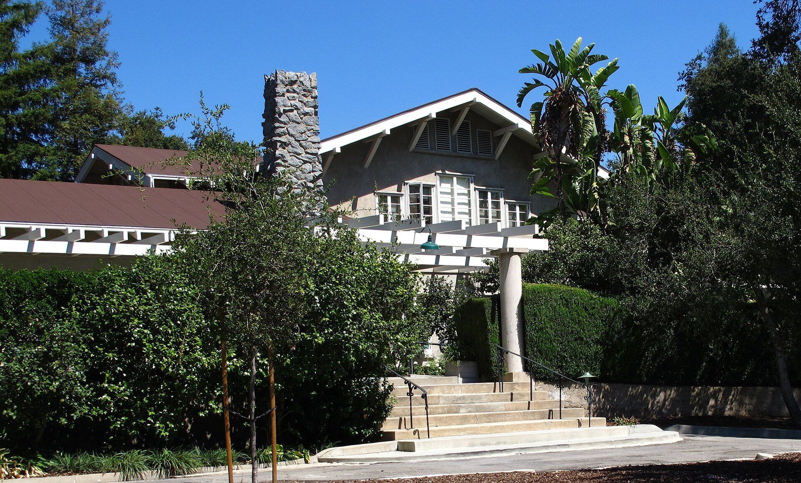
The family’s later house became the town’s museum. The Los Angeles Times reported at its centennial that Dr. Roy Lanterman and his wife, Emily, moved into the 11,000 square foot concrete bungalow in 1915, when a few hundred farmers were scattered across the valley, and that their son Frank, as a state senator, co sponsored the Municipal Water District Act of 1951 that brought water to La Cañada and allowed it to grow.6 The Lanterman House entry tells the house’s story.
Flintridge
The southern part of the valley became a separate development. Frank Putnam Flint served one term in the United States Senate, from 1905 to 1911, and was the developer of Flintridge, a suburban community in the San Rafael foothills, according to the Lanterman House founders gallery.4 The almanac adds that Flint chose the final name when the land was subdivided in 1920.3 The archive guide records that the Flintridge development of the 1920s and early 1930s drew architects such as Myron Hunt, Paul R. Williams and Wallace Neff to design its houses.5
One of its landmarks was a hotel. The Myron Hunt and H. C. Chambers papers at the University of California, Santa Barbara document the Flintridge Biltmore Hotel, built for Flint in 1926 and 1927 to designs by Hunt and Chambers and later sold to the Bowman Biltmore hotel company.7 The architects have their own entries, among them Myron Hunt, Wallace Neff and Paul Revere Williams.
The city in figures
- Year of incorporation, on December 8
- 1976
- Square miles of land
- 8.63
- Residents at the 2020 Census
- 20,573
- Housing units
- 7,118
One city
Until 1976 the two communities were unincorporated parts of Los Angeles County. When they faced annexation to Glendale or Pasadena, they chose in a 1976 vote to become one city, and residents left a hyphen out of its name on purpose, so that it would not suggest two places.8 One appeared on the incorporation papers filed with the state anyway, and in 1985 the city council voted to remove it after the Legislature allowed councils to change a city’s name by ordinance. The almanac gives the date of incorporation as December 8, 1976, and records 20,573 residents at the 2020 Census on 8.63 square miles of land.3
The setting
The city sits between hills, gardens and mountains. In the San Rafael Hills, the Cultural Landscape Foundation records, the publisher E. Manchester Boddy bought a 165 acre tract in 1937, named it Rancho del Descanso and planted camellias by the thousand; he sold the estate to Los Angeles County in 1953, and Descanso Gardens was listed in the National Register of Historic Places in 2021.9 See Descanso Gardens.
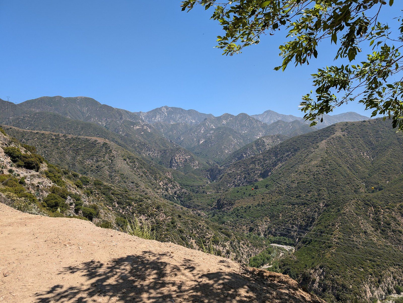
Mountains ring the valley; the place name history cited above traces the name of neighboring La Crescenta to the crescent shapes of three ranges, the Verdugos, the San Rafaels and the San Gabriels.2 The Angeles National Forest, which the Forest Service calls the backyard playground of the Los Angeles metropolitan area, was established by executive order in December 1892 and covers nearly 700,000 acres, with elevations from 1,200 to 10,064 feet and chaparral giving way to pine and fir as the slopes climb; the Forest Service names it as the ancestral homeland of tribes including the Tongva.10 The Angeles National Forest entry covers the forest.
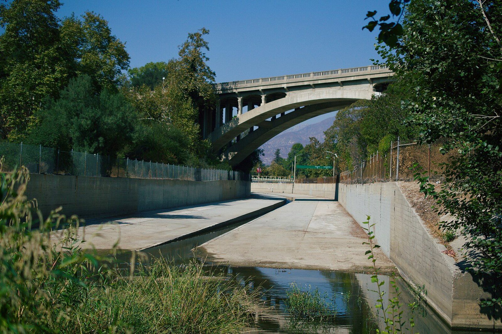
The Arroyo Seco, the valley’s eastern limit in Verdugo’s naming, has its own place in modern history. The Jet Propulsion Laboratory records that a group of Caltech graduate students fired an alcohol fueled rocket motor in the riverbed on October 31, 1936, and that the Army later helped Caltech acquire land there for test pits and workshops, the beginnings of the laboratory.11 The entries on the Arroyo Seco and the founding of JPL continue the story.
References
- California Fact Cards, Califa. California Ranchos: Rancho San Rafael.
- Crescenta Valley Weekly. Treasures of the Valley, October 5, 2023.
- Los Angeles Almanac. City of La Cañada Flintridge.
- Lanterman House. Founders gallery.
- Online Archive of California, Lanterman House History Center and Archives. La Cañada Flintridge Historical Buildings Collection, 1910 to 2017, 2025.
- Los Angeles Times. Lanterman House celebrates its 100th year, December 11, 2014.
- Art, Design and Architecture Museum, University of California, Santa Barbara. Hunt & Chambers: Flintridge Biltmore Hotel (La Canada Flintridge, Calif.).
- Los Angeles Times. La Canada Council Gets Rid of Hyphen It Never Wanted, December 5, 1985.
- The Cultural Landscape Foundation. Descanso Gardens.
- U.S. Forest Service. Angeles National Forest, About the Area, 2025.
- NASA Jet Propulsion Laboratory. Slice of History: The First Rocket Motor Firing, January 30, 2026.
External links
See also
-
 La Cañada Flintridge History
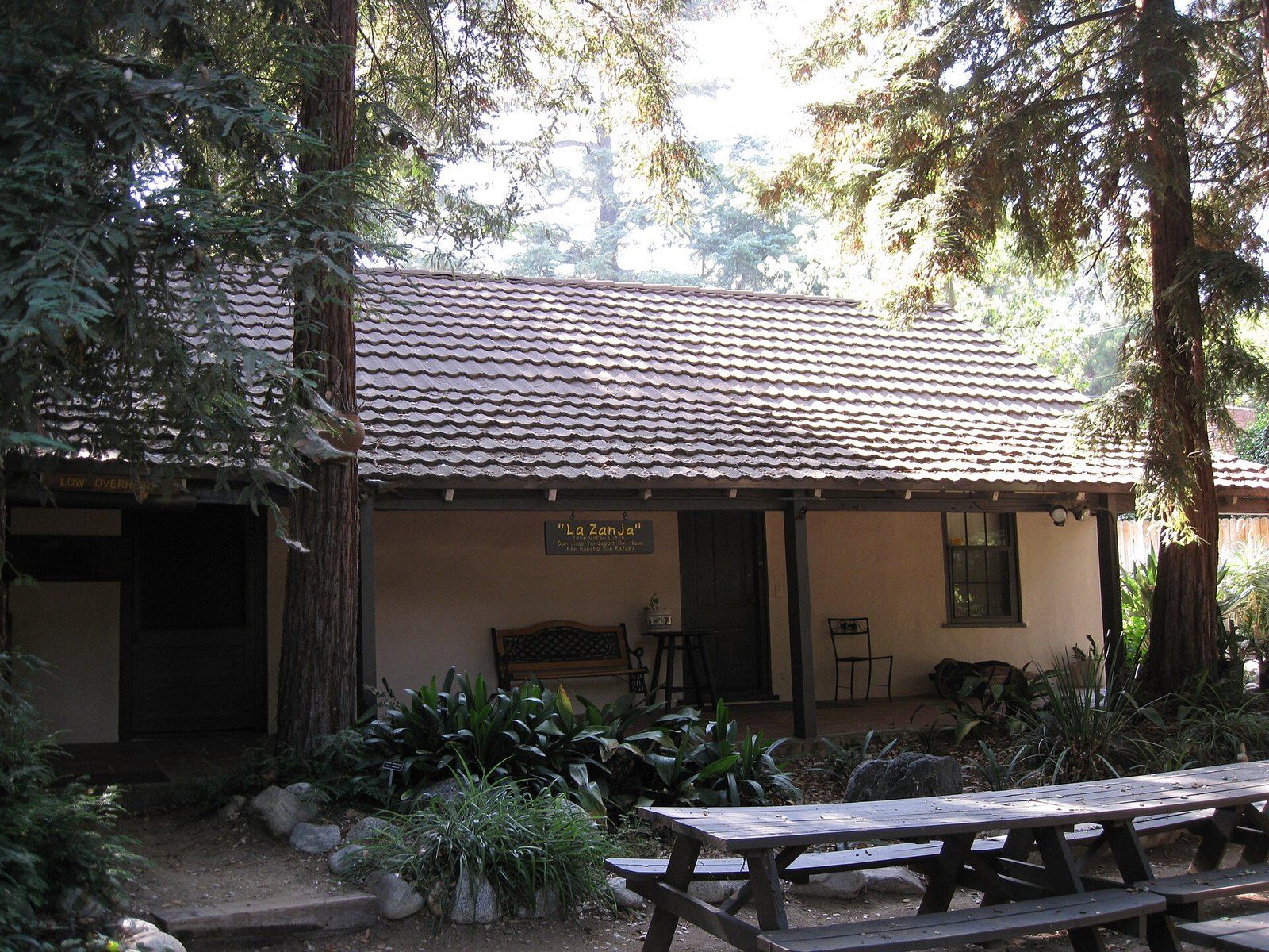
The Ranchos of the Crescenta Valley
From the Verdugo grant of 1784 to Briggs's ten acre lots and Flint's subdivision, the chain of title behind the valley.
-
 La Cañada Flintridge History
Lanterman House
A doctor's family home, a ballroom that waited decades for a dance, and the archive the town keeps inside its walls.
-
 Architects of the Foothills
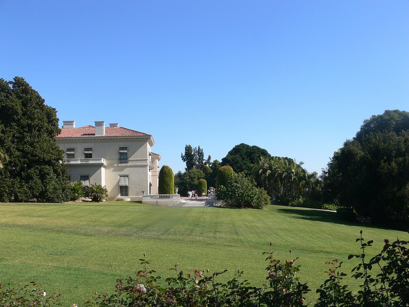
Myron Hunt
A Massachusetts born designer who settled in Pasadena in 1903 and left a villa, a stadium, campuses and a Riverside hotel wing.
-
 La Cañada Flintridge History
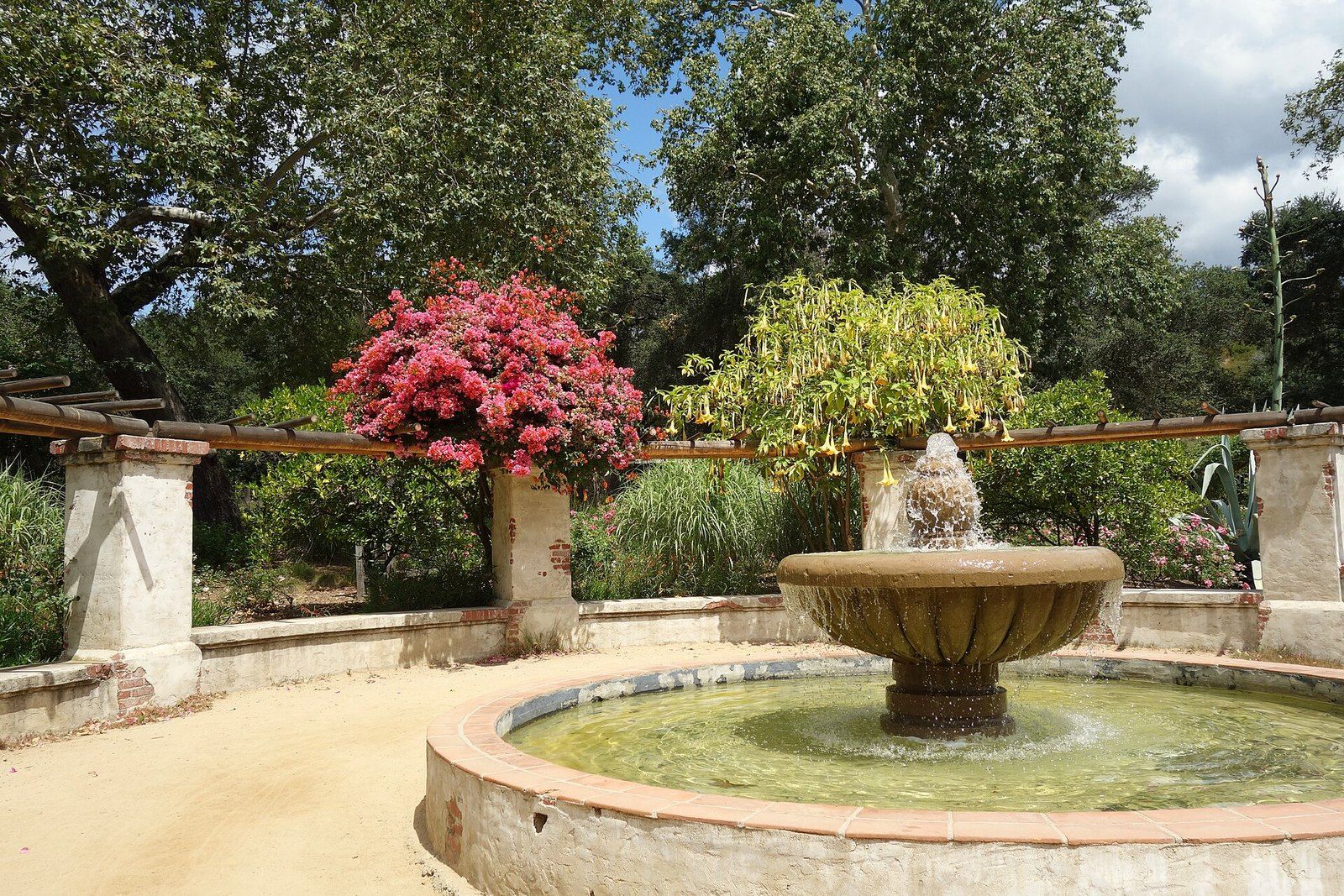
Descanso Gardens
A publisher's camellia estate under coast live oaks that the county bought and a guild turned into a garden of rooms.
-
 La Cañada Flintridge History
The Arroyo Seco
A seasonal stream that fed trail camps and painters, was poured into concrete in the Depression, and is now argued over again.
-
 The San Gabriel Foothills
Angeles National Forest
Public land above the foothill towns, from an 1892 watershed reserve to trail camps, a mountain highway and a national monument.