
Angeles National Forest
Contents
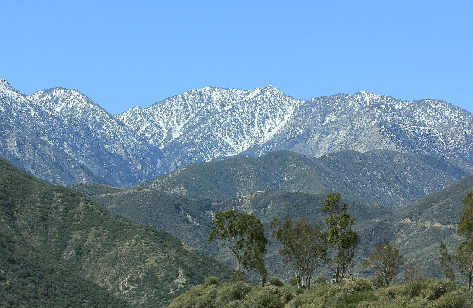
The La Cañada Flintridge market, which Mike Kobeissi has worked for three decades, sits directly below the mountains where the Angeles National Forest begins. The forest was assembled in a series of steps. The Forest Reserve Act of 1891 let the president set aside reserves from timber covered public land, and on December 20, 1892, President Harrison created the San Gabriel Timberland Reserve, a response, the Forest Service says, to public concern about watershed values that went back as far as 1883.2 In 1905 the reserves passed from the Department of the Interior to the Department of Agriculture, in 1907 they were renamed national forests, and in 1908 the San Gabriel National Forest took the name Angeles. The eastern district was split off in 1926 to recreate the San Bernardino National Forest.2
From timberland reserve to Angeles National Forest
- 1891The Forest Reserve Act lets the president set aside forest reserves from public domain land.
- December 20, 1892President Harrison creates the San Gabriel Timberland Reserve over concern for watershed values.
- 1905Reserves nationwide move from the Department of the Interior to the Department of Agriculture.
- 1907The reserves are renamed national forests.
- 1908The San Gabriel National Forest becomes the Angeles National Forest.
- 1926The eastern area is divided off and the San Bernardino National Forest is recreated.
The land and what it is for
The forest covers nearly 700,000 acres, and the Forest Service’s overview gives an elevation range from 1,200 to 10,064 feet, with dense chaparral on the lower slopes giving way to pine and fir near the high peaks.1 Its first purpose remains water: the Forest Service manages the watersheds inside its boundaries to supply Southern California and to protect the communities below.1 Recreation came next. The same overview lists campgrounds and picnic areas, swimming, fishing, skiing and quiet wilderness, with trails for hikers, riders, mountain bikers and off highway vehicles.1 The Forest Service also identifies the land as the ancestral and traditional homeland of several tribes, including the Serrano, Tataviam, Tongva, Kizh, Kitanemuk and Chumash peoples, whose connection to it continues.1
The highest point is the 10,064 foot Mount San Antonio, known as Mount Baldy, and the Forest Service credits the San Andreas Fault and other geological forces with shaping the steep terrain, a story told more fully under the San Gabriel Mountains.3 Its deep canyons, many with streams that run all year, give habitat to the California condor, the spotted owl, bighorn sheep and limber pines a thousand years old, and two Native American rock art sites in the monument area are listed on the National Register of Historic Places.3
The great hiking era
Before roads reached the high country, the forest was explored on foot. The Homestead Museum dates the Great Hiking Era roughly from the mid 1880s to the mid 1930s, when the San Gabriels filled with day hikers and guests at mountain resorts and trail camps between Memorial Day and Labor Day.8 One of the best known was Switzer’s Camp in the upper Arroyo Seco. Commodore Perry Switzer, a carpenter who had regained his health in the mountains, built a trail up the canyon and then a modest resort, and the later owner, Lloyd Austin, added a chapel and a dance floor, according to a hiking column reprinted by the Arroyo Seco Foundation.9 By the Memorial Day weekend of 1921 the camp had been enlarged to take at least 250 guests, who reached it by a daily auto stage from Pasadena and a final four miles of trail.8
Switzer's Camp in the hiking era
- Mid 1880sThe Great Hiking Era begins, and trail camps spread through the San Gabriels.
- May 1912Lloyd B. Austin and his family take over the camp, briefly called Losadena.
- After 1912Austin remakes the lodge, landscapes the grounds and builds the Switzer land Chapel.
- May 1921The enlarged camp can take at least 250 guests, reached by a daily auto stage from Pasadena.
- Mid 1930sThe hiking era fades.
That world ended with the automobile. The column records that Switzer’s remained popular into the 1930s, until the Angeles Crest Highway made the walk in obsolete, and when it was written in 1993 stone foundations of long abandoned resorts still marked the Gabrielino Trail down the canyon.9
A highway into the high country
Work on the Angeles Crest Highway began in 1929 and continued for 27 years under state and federal road agencies. PBS SoCal’s history of the road notes that the engineer J. B. Lippincott had surveyed the route in 1919 for the Automobile Club of Southern California, keeping it high on the slopes and ridge crests above the narrow canyons.6 The grade never exceeds 6.5 percent, some cuts are 240 feet deep, the road tunnels twice near Islip Saddle and it tops out at 7,901 feet at Dawson Saddle.6 The change in use was immediate: in the 18 months from July 1932 to December 1933, nearly 2.5 million people visited the forest, more than visited all of California’s national parks combined.6
The Angeles Crest Highway before and at its 1990 dedication
| Before the byway | At the 1990 dedication | |
|---|---|---|
| Milestone | Construction from 1929, completed in 1956 | Named a national scenic byway |
| Way into the mountains | Burro trails, a cog railway, horse drawn stages and travel on foot, before the road | A two lane road of about 65 miles from La Cañada Flintridge to Wrightwood |
| Traffic on the lower end | 2,100 vehicles a day in 1979 | 3,400 vehicles a day in 1989 |
The scenic byway
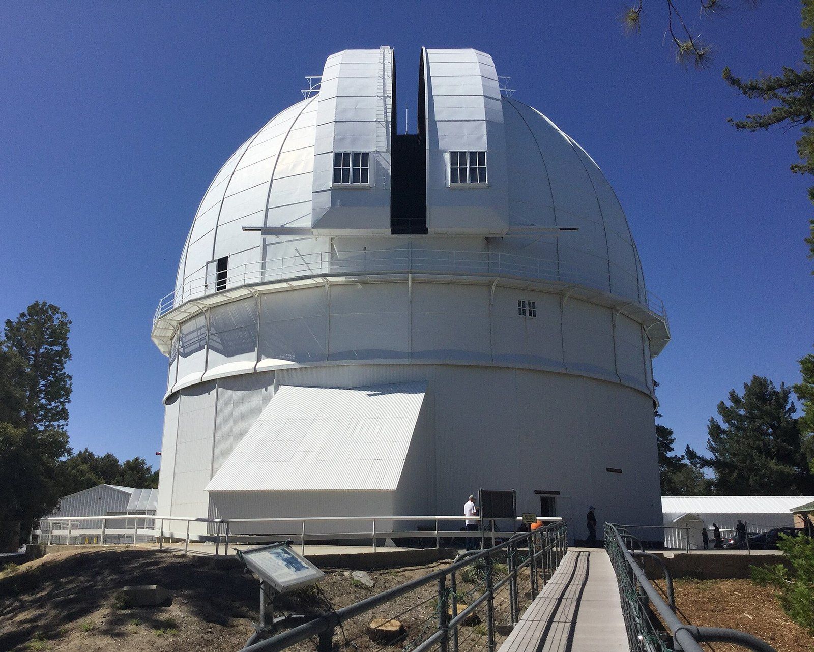
In 1990 the Forest Service named the road a national scenic byway, with ceremonies at its southern end near La Cañada Flintridge. The Los Angeles Times reported that officials called it a first for a wilderness road so close to a major urban area, described a route of about 65 miles with no gas station, stoplight or billboard, and counted four ski resorts reached from it.7 The new status was meant to bring more sightseers, with upgraded visitor centers and signs on the road’s history, plants and wildlife, including stories about the observatory on Mount Wilson.7
The same report measured how the road was used. The lower end, which had become a route for commuters from Palmdale and Lancaster, averaged 3,400 vehicles a day in 1989, up from 2,100 a decade earlier, while remote stretches such as Chilao held steady at about 1,000.7 Winter changed the pattern again: on an average snowy weekend about 6,000 visitors came to ski and another 42,000 played in the snow along the roadside.7 The contrast with the nineteenth century was stark. John Muir, who visited in 1877, had called the San Gabriel range more rigidly inaccessible than any other he had tried to penetrate.7
The national monument
On October 10, 2014, President Obama used the Antiquities Act to designate 346,177 acres of national forest land as the San Gabriel Mountains National Monument. The White House announcement said the new monument overlays about half of the Angeles, which hosts more than 4 million visits a year, and cited a Forest Service estimate, based on 2012 data, that the forest contributes more than $39 million a year to the local economy.4 The announcement also noted rock art sites reflecting more than 8,000 years of Native American history and the Mount Wilson Observatory inside the boundary.4 Private money followed: the National Forest Foundation committed $3 million to a fund for the monument, and a group of foundations set out to raise a further $500,000 for recreation and habitat projects.4
The forest and its monument, 2014
- Size of the San Gabriel Mountains National Monument
- 346,177 acres
- Visitors a year to the Angeles National Forest
- 4 million+
- People living within 90 minutes
- 15 million+
- Share of Los Angeles drinking water the forest provides
- One third
The Forest Service fact sheet issued that month called the monument the heaviest used area of the forest and said the forest provides 70 percent of the open space for more than 15 million people within 90 minutes, along with a third of the drinking water for Los Angeles.3 Other counts differ. Two years earlier, PBS SoCal reported that the San Gabriels represent about 78 percent of the open space in Los Angeles County and called the Angeles the largest urban forest in the nation.5
What comes next for it
The boundary has already moved once. On May 2, 2024, President Biden signed a proclamation adding 105,919 acres in the western Angeles to the monument, according to the office of Representative Judy Chu, which had pressed for the expansion; her office also reports that the first designation brought $6.5 million in federal funding and $4 million in philanthropic gifts for staff, signs and trash removal.10 Access is the open question. Advocates quoted by PBS SoCal proposed a national recreation area reaching down the San Gabriel River and a transit to trails program, noting a study that found no realistic way to reach the forest from Union Station by public transit.5 Those plans are the forest’s next chapter, and among the places the monument already protects is the summit described in the entry on Mount Wilson Observatory. Anyone considering a home near the forest edge should take the questions that particular property raises to advisors of their own choosing.
References
- USDA Forest Service. Angeles National Forest: About the Area, 2025 03 14.
- USDA Forest Service. Angeles National Forest: Discover History, 2025 05 06.
- USDA Forest Service. San Gabriel Mountains National Monument Fact Sheet, 2014 10.
- The White House. President Obama Designates San Gabriel Mountains National Monument, 2014 10 10.
- PBS SoCal. Bringing the San Gabriel Mountains Closer to the People, 2012 02 09.
- PBS SoCal. Angeles Crest: The Creation of L.A.'s Highway Into the Heavens, 2016 07 15.
- Los Angeles Times. Wilderness Road Rises to New Status, 1990 10 03.
- Homestead Museum. At Our Leisure with Photos from Switzer's Camp, San Gabriel Mountains, 30 May 1921, 2023 05 30.
- Arroyo Seco Foundation. Gabrielino National Recreation Trail, 1993 12 26.
- Office of Representative Judy Chu. San Gabriel Mountains.
External links
- USDA Forest ServiceAngeles National Forest: Discover History
- PBS SoCalAngeles Crest: The Creation of L.A.'s Highway Into the Heavens
- The White HousePresident Obama Designates San Gabriel Mountains National Monument
- Homestead MuseumAt Our Leisure with Photos from Switzer's Camp, San Gabriel Mountains, 30 May 1921
See also
-
 The San Gabriel Foothills
The San Gabriel Mountains
The range above Los Angeles, read through its rock, its faults, its summits and the people who crossed it first.
-
 The San Gabriel Foothills
Mount Wilson Observatory
A mountaintop laboratory in the San Gabriels where big mirrors showed that the Milky Way is one galaxy among many.
-
 The San Gabriel Foothills
The Mediterranean Climate
Long rainless summers, short wet winters and the handful of west coast regions, from Chile to the Cape, that share them.