
The Tongva and the Arroyo Seco
The La Cañada Flintridge market, worked by Mike Kobeissi for three decades, sits on foothill ground where, long before any lot was drawn, the things people built and used came from granite, acorns, yucca, greasewood and thatch. In the mountain and valley country of the Tongva, PBS SoCal’s history of the San Gabriels records that families lived in thatched houses called kich, gathered acorns, known as kwi, in tightly woven baskets, and pounded them to meal in mortar holes worn into granite, holes still visible in the range.5 The same account lists the rest of the kit: arrow shafts cut from greasewood, fishing nets twisted from yucca fiber for steelhead, manzanita berries brewed into a sweet cider, and chia seed and mountain cherries picked from the chaparral, with plants supplying more than half of an ordinary diet.5 Granite boulders and acorns alike were treated as sensate kin, and hunters and gatherers took only what was needed.5
Water was the other material. KCET’s Departures series on the Gabrieleno Tongva explains that the name means People of the Earth and that the Los Angeles River, once a broad willow forest, gave the original people of the basin water, food and shelter.2 Along the Arroyo Seco, one of that river’s tributaries, a PBS SoCal profile of the stream says the Hahamog’na people lived in the surrounding hills for several thousand years, taking steelhead and medicinal plants from its banks and keeping their homes high on the slopes, well above the water that rose in wet winters.4
Tovaangar, its villages and the Arroyo footpath
The Tongva called their world Tovaangar. The Los Angeles Times mapping project traces it from Palos Verdes to San Bernardino and from Saddleback Mountain to the San Fernando Valley, a territory of independent but connected villages. Its largest town, Yaanga, is believed to have stood just west of the Los Angeles River, ground that now lies under the 101 Freeway.1 The tribe’s own account, published by the Gabrielino Tongva Nation, puts its former lands at more than 1.5 million acres across the Los Angeles Basin and four of the southern Channel Islands, and points to more than 2,000 archaeological sites in the county basin as evidence of how long its people have been here.3
Tovaangar in numbers
- people living across Tovaangar
- about 5,000
- villages, each independent and linked to the others
- nearly 100
- missions the Tongva were forced to resettle around, 1769 to 1840
- 3
Villages sat low, near water, and life moved with the seasons. As the foothills warmed in spring, families climbed old footpaths into the mountains to build summer and autumn camps, gathering enough food and fiber to carry a village through the cold months. A web of trails linked the lowland towns to meeting grounds such as Mount Wilson, Red Box Saddle, Millard Canyon and the Chilao backcountry, where people traded goods, swapped songs and met relatives from other mountain bands.5 The Arroyo Seco was one of those corridors. The One Arroyo Foundation notes that the canyon carries one of the region’s oldest continuous footpaths, and that its roughly 24 miles, from the San Gabriel Mountains down to the Los Angeles River, were a vital resource to the Tongva for thousands of years.7
Near the mouth of the canyon the record turns physical. The upper Arroyo was known as Hahamongna, a name that Angeles Adventures translates as fruitful valley, flowing waters.8 Artifacts found in nearby citrus groves around 1900 suggested a village, and in 1938 crews building the Sheldon Reservoir, three blocks south of the dam, uncovered a burial ground holding 53 people in two layers. Grinding stones, bowls and mortars placed with them had been broken on purpose, a practice meant to free the spirits of the objects, and about ten stone cairns may have marked a mourning ceremony. The finds went to the Southwest Museum, now part of the Autry Museum of the American West.8 The entry on Hahamongna and Devil’s Gate Dam follows the later life of the same ground.
The seasonal round in the San Gabriels
- WinterFamilies stayed in thatched kich on rises above the rivers in the valley.
- SpringAs the foothills warmed, people climbed old footpaths toward cooler ground.
- Summer and autumnMountain camps for hunting deer and rabbit and gathering acorns, cherries and chia.
- TradeTrails to Mount Wilson, Red Box Saddle and Chilao carried goods, songs and news.
Missions, place names and the people who remained
Spanish contact changed Tovaangar quickly. When Gaspar de Portolà passed through in 1770 he named the stream Arroyo Seco, dry creek, a poor description of a channel that ran hard in wet years, and the Spanish chose to build away from its confluence.4 The tribal history dates the San Gabriel Mission’s hold on the basin’s people from 1771 and explains that the tribe came to be called Gabrieleño after the mission to which its members were taken; by 1976 it was known as the Coastal Gabrieleno Diegueno Band of Mission Indians, and it reorganized in 2001.3 The PBS SoCal mountain history places the mission’s foundations a few miles downriver from the large village of Asuksangna in 1775.5 Over the decades that followed, the Times project summarizes, disease, invasive species and livestock upset the region’s ecology and pushed the Tongva to resettle around the missions.1 The land grants that came next are covered under the ranchos of the Crescenta Valley.
The language outlasted the villages. Topanga, Cahuenga and Azusa come from Tongva words, while Tujunga and Pacoima come from Fernandeño and Cucamonga from Serrano, so the regional map still carries the older vocabulary.1 The people outlasted the missions as well; KCET counts more than a thousand Tongva living in the Los Angeles area.2 The Gabrielino Tongva Nation, which took that name in 2007, reports more than 700 tribal citizens and no reservation, because the federal government has not recognized the tribe even though the State of California and the Los Angeles City Council do. A Tongva woman stands at the center of the county seal adopted in 1957.3 The USDA Forest Service acknowledges the Angeles National Forest, nearly 700,000 acres of federal land behind Los Angeles, as ancestral homeland of the Gabrieleno San Gabriel Band of Mission Indians, the Gabrieleno Kizh and four other tribal nations that keep their tie to it.6
Village maps of this kind are regional reconstructions built from mission baptismal records and excavation, not parcel surveys, so questions about any one property belong with its owner’s own advisors. The table that ends this entry lines up the two halves of the story, and the Arroyo Seco entry carries the stream forward into the age of bridges and concrete.
Tovaangar before and after the mission era
| Before 1769 | By 1840 | |
|---|---|---|
| Where people lived | Nearly 100 villages from Palos Verdes to San Bernardino | Resettled around the three missions |
| The land | Grasslands, estuaries and oak covered foothills | Ecology upset by disease, invasive species and livestock |
| The names | Tongva words for villages, springs and places | Topanga, Cahuenga and Azusa survive on the map |
References
- Los Angeles Times. Mapping the Tongva villages of L.A.'s past, 2019 05 09.
- KCET. Gabrieleno Tongva Mission Indians, 2011 01 24.
- Gabrielino Tongva Nation. Tongva Tribe History & Timeline, 2023 11 10.
- PBS SoCal. Arroyo Seco, The Spine Of Civilization, 2010 10 05.
- PBS SoCal. The Indigenous Dawn of the San Gabriel Mountains, 2013 09 30.
- USDA Forest Service. Angeles National Forest, About the Area, 2025 03 14.
- One Arroyo Foundation. About the Arroyo Seco, 2010 05 02.
- Angeles Adventures. Unearthing Hahamongna's Ancient Past, 2025 04 22.
External links
See also
-
 La Cañada Flintridge History
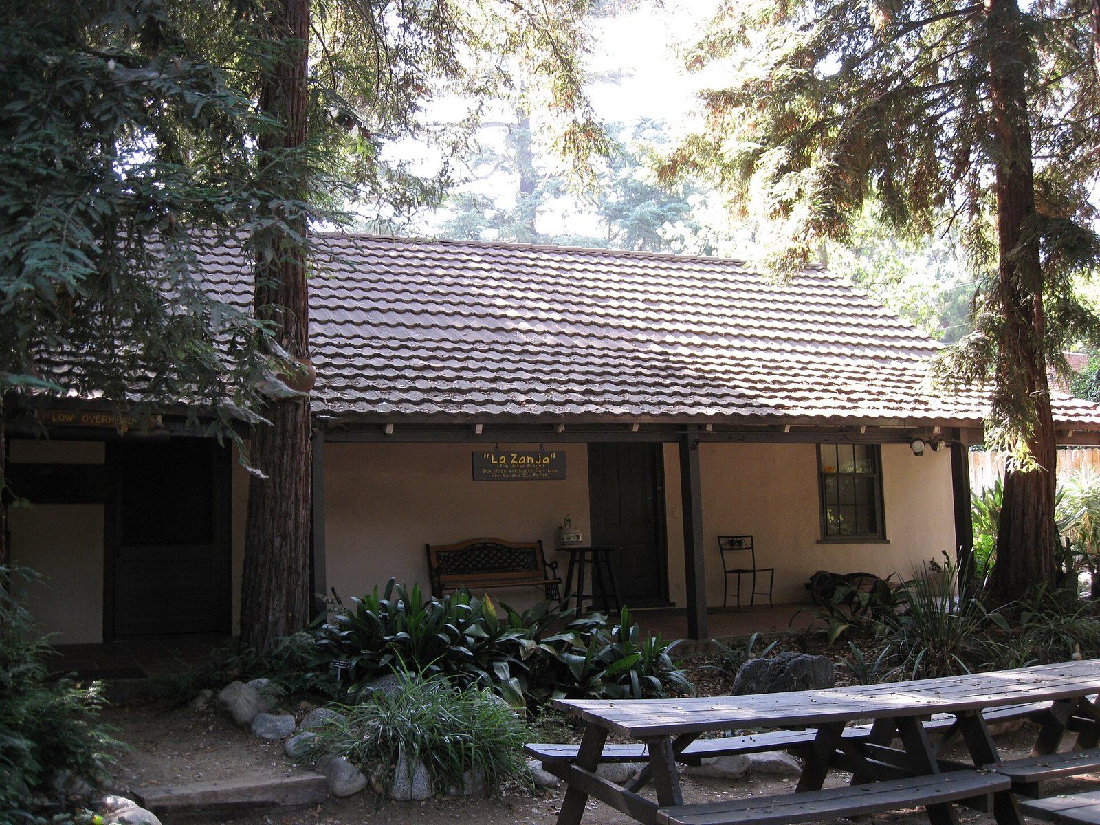
The Ranchos of the Crescenta Valley
From the Verdugo grant of 1784 to Briggs's ten acre lots and Flint's subdivision, the chain of title behind the valley.
-
 La Cañada Flintridge History
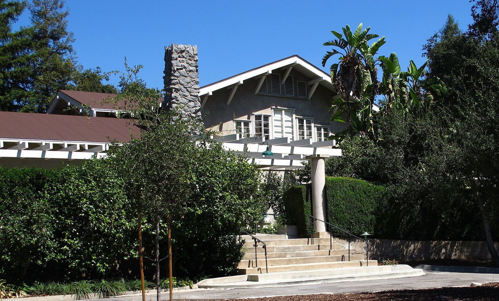
Lanterman House
A doctor's family home, a ballroom that waited decades for a dance, and the archive the town keeps inside its walls.
-
 La Cañada Flintridge History
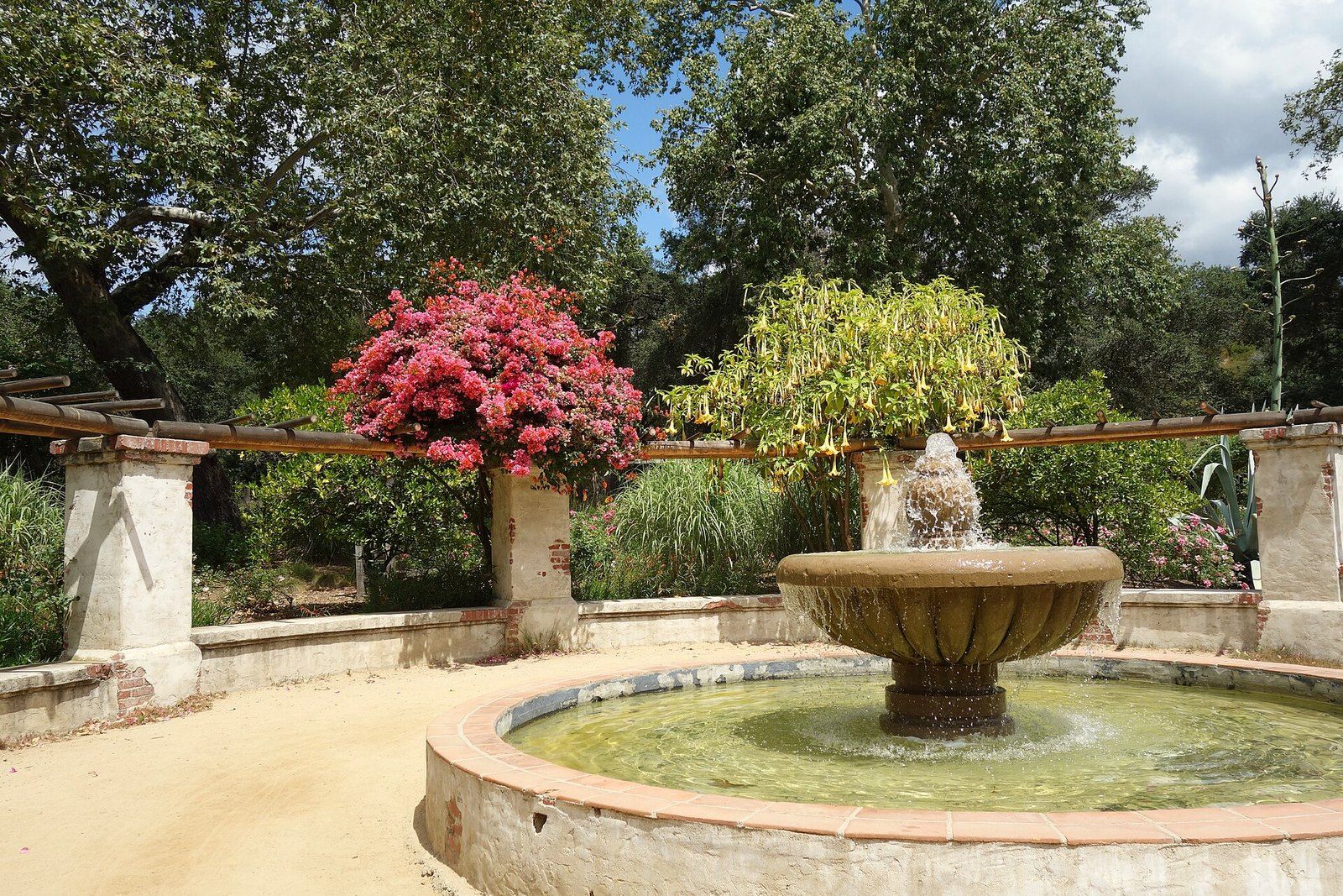
Descanso Gardens
A publisher's camellia estate under coast live oaks that the county bought and a guild turned into a garden of rooms.
-
 La Cañada Flintridge History
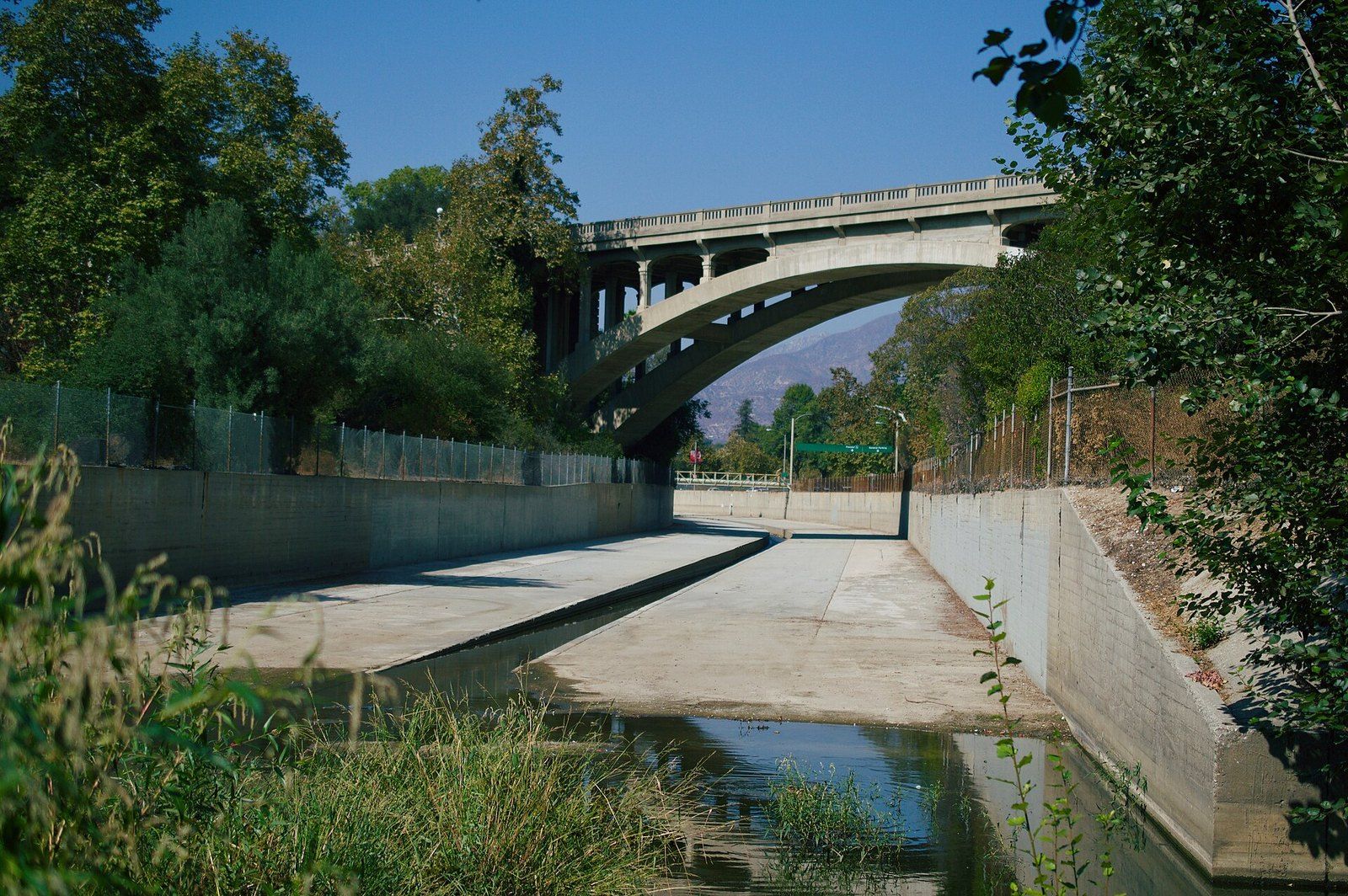
The Arroyo Seco
A seasonal stream that fed trail camps and painters, was poured into concrete in the Depression, and is now argued over again.
-
 Architects of the Foothills
Myron Hunt
A Massachusetts born designer who settled in Pasadena in 1903 and left a villa, a stadium, campuses and a Riverside hotel wing.