
The Arroyo Seco
Contents
Perry Switzer, a carpenter who got his health back in the San Gabriel Mountains, cut a trail up the Arroyo Seco above the La Cañada Flintridge market that Mike Kobeissi has worked for three decades, and then built a modest resort along it.2 A 1993 column by the trail writer John McKinney, kept by the Arroyo Seco Foundation, says hikers kept coming through the Depression years, until the Angeles Crest Highway left the camp obsolete. The same column follows the westernmost stretch of the Gabrielino National Recreation Trail for about nine and a half miles, mostly downhill, from that highway to the edge of the Jet Propulsion Laboratory in Pasadena.2 His story holds the whole canyon in small: a stream valued first for what it offered people, then reshaped by what people built.
A dry name for a working stream
The name has always been a little wrong. When Gaspar de Portolà came through in 1770 he called it the Arroyo Seco, the dry stream, though as PBS SoCal’s overview of the river points out it ran high often enough that the Spanish kept clear of its mouth. It is a seasonal tributary of the Los Angeles River.5 The One Arroyo Foundation measures its course at about 24 miles from the San Gabriel Mountains to that river, a watershed the Tongva relied on for thousands of years.3 That earlier life is the subject of the Tongva and the Arroyo Seco.
Two canyons in one
Writers describe the Arroyo as two places joined end to end. A Los Angeles Times hiking column of 1989 divides it into ten miles of urban canyon dominated by the freeway and ten miles of wild watershed falling from the shoulder of Mount Wilson, shaded by oak, sycamore and bay. Because the path up the canyon is part of the Gabrielino National Recreation Trail, the column noted, it was usually kept in good repair.1 The same paper called it the best known canyon in Southern California, home to the Rose Bowl and to the Pasadena Freeway.1
Round trip miles up the wild canyon
The trail camp years
Early in the century the wild half was a weekend destination. Camp Oakwilde, a rustic resort built in 1911 about halfway up, put up hikers and riders for a night or served as a rest stop on the climb to Mount Wilson, and in the 1920s a road let drivers reach it. At Teddy’s Outpost, Theodore Syvertson ran a tiny roadside hostelry in 1915.1 Up canyon, the next owner of Switzer’s camp, Lloyd Austin, enlarged it with a small chapel and a place to dance.2 The great storm of 1938 swept Oakwilde, its road and many cabins away; stone steps and foundations are what a hiker finds there now.1
The Arroyo and Pasadena
Lower down, the stream shaped a city. The One Arroyo Foundation calls the Arroyo the birthplace of Pasadena and a key early water source, notes that its open ground is larger than Central Park, and lists its landmarks: the Rose Bowl and the Colorado Street Bridge of 1913, a span often seen in films. Its scenery inspired artists of the Arts and Crafts movement and gave its name to what came to be called the Arroyo Culture.3 KCET’s Departures series adds that the Arroyo was the spine of Highland Park, an early Los Angeles suburb, and that it offered vistas to plein air painters and stone to local architects.6
Concrete, 1935 to 1940
Imported water changed how the city saw the stream. Between the Owens Valley Aqueduct of 1913 and the Colorado River Aqueduct of 1935, PBS SoCal’s account of the channel explains, the Arroyo went from a resource to an obstacle. The New Deal paid for the first full study of its hydraulics, and from 1935 to 1940 the Works Progress Administration confined the river to a concrete channel as part of building the Arroyo Seco Parkway, which the channel made possible. Plans for that road were already well along when the first concrete was poured, and a confined river meant the roadbed could no longer be undercut each wet season.4 KCET’s Reimagining program gives 1938 as the year of channelization, a date that falls inside that span.6
What the channel cost
The work brought jobs to men idled by the Depression, and it ended the threat the stream’s high water posed to the new road. It also cost the Arroyo much of what had drawn people to it. Water quality fell and native streamside habitat was lost, and decades passed before anyone addressed the ecosystem seriously.4 KCET describes wildlife and plants nearly extinguished and the lower canyon turned to a cement eyesore, later taken up by graffiti artists.6 The steelhead trout that once ran the stream are gone from the area.5
The Arroyo in figures
- from the San Gabriel Mountains to the Los Angeles River
- about 24 miles
- people a day who run, hike, ride or cycle there
- 10,000+
- year the Colorado Street Bridge was built across it
- 1913
Hahamongna, the upper basin
Above Pasadena the canyon opens into a basin that kept more of its older character. KCET reported on the Hahamongna Walkabout, the Arroyo Seco Foundation’s guided tour of a 300 acre open area near the Jet Propulsion Laboratory where a pair of endangered Least Bell’s vireos had been seen, alongside disc golf, riding and the Tom Sawyer Camps, which have run there since 1944.7 The basin and the dam at its foot have their own entry, Hahamongna and Devil’s Gate Dam.
What remains unsettled
The channel’s future is still open. KCET reports cleanup efforts that have run for decades, now joined by public plans such as the Los Angeles River Revitalization Master Plan, and a proposal to treat the Arroyo and the river together as a linked central park along the river’s 52 miles, with pocket parks and public art on the walls. Restoration advocates want habitat good enough for steelhead to return; the watershed at Hahamongna alone holds five distinct habitats.6 None of that is settled: how much concrete can come out while still carrying winter runoff, who pays, and how a recreation corridor used by more than 10,000 people a day changes if it does.3 Questions about how any of it bears on a particular lot near the canyon are for an owner’s own advisors to answer.
References
- Los Angeles Times. Arroyo Seco Offers History Lesson of Southern California, 1989 08 26.
- Arroyo Seco Foundation. John McKinney on the upper Arroyo Seco, December 26, 1993, 1993 12 26.
- One Arroyo Foundation. About the Arroyo Seco, 2010 05 02.
- PBS SoCal. Channelization of the Arroyo Seco, 2011 10 24.
- PBS SoCal. Arroyo Seco, The Spine Of Civilization, 2010 10 05.
- KCET. Reimagining The Arroyo Seco, 2011 11 21.
- KCET. Arroyo Seco Foundation's Annual Hahamongna Walkabout Adds Recreational Stations, 2013 03 21.
External links
See also
-
 La Cañada Flintridge History
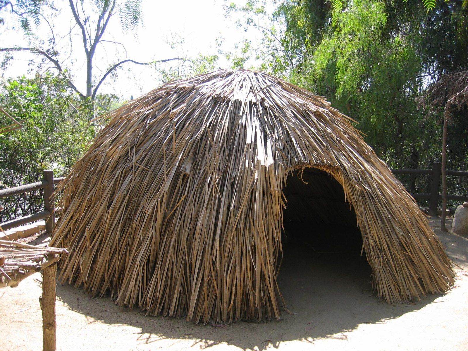
The Tongva and the Arroyo Seco
Tovaangar's villages, trails and acorn economy left traces that still frame what is known of the foothills.
-
 La Cañada Flintridge History
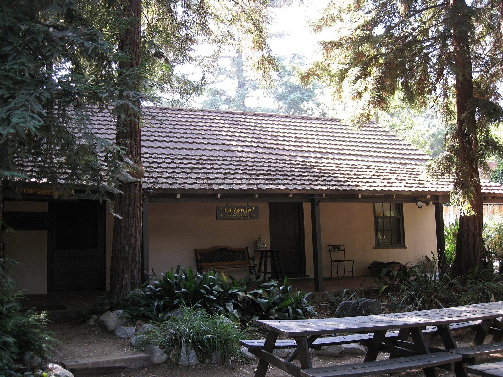
The Ranchos of the Crescenta Valley
From the Verdugo grant of 1784 to Briggs's ten acre lots and Flint's subdivision, the chain of title behind the valley.
-
 La Cañada Flintridge History
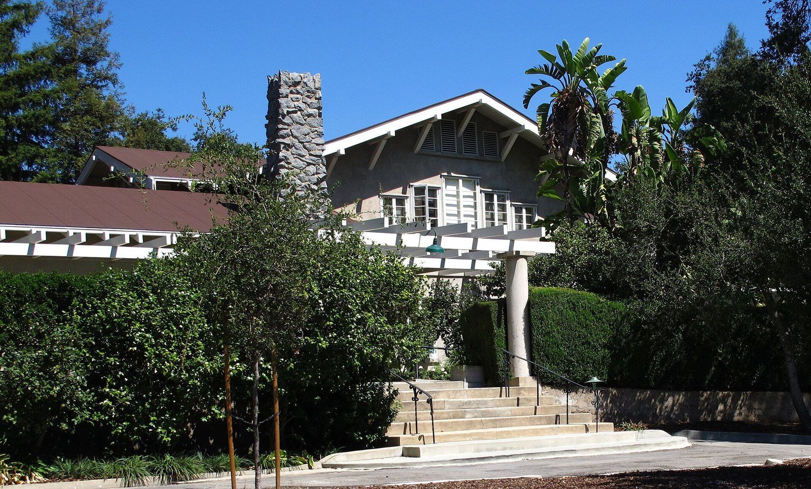
Lanterman House
A doctor's family home, a ballroom that waited decades for a dance, and the archive the town keeps inside its walls.
-
 La Cañada Flintridge History
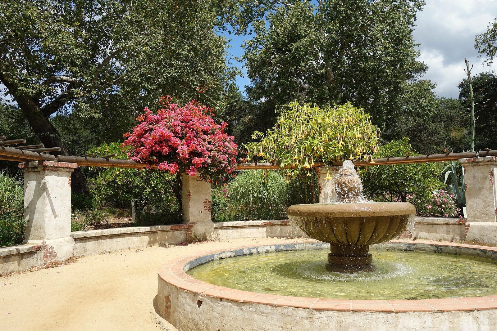
Descanso Gardens
A publisher's camellia estate under coast live oaks that the county bought and a guild turned into a garden of rooms.
-
 Architects of the Foothills
Myron Hunt
A Massachusetts born designer who settled in Pasadena in 1903 and left a villa, a stadium, campuses and a Riverside hotel wing.