
The Arroyo Seco Parkway
Contents
Mike Kobeissi has spent three decades working the La Cañada Flintridge market, a few miles up the Arroyo Seco from a road whose very name records a change in how engineers thought about cars. When it opened in 1940 it was called a parkway, a word that promised landscaping and a pleasant drive. Within fifteen years it carried the name Pasadena Freeway, a word for something else entirely, and in 2010 the older name came back. The road never changed much. The vocabulary did.
Parkway, motorway, freeway
The terms had not settled when the road was planned. The Automobile Club of Southern California’s 1937 traffic survey proposed a regional network of what it called motorways, because the word freeway had not yet caught on; in its strict technical sense a freeway is a highway to which abutting owners have no right of access, as KCET’s Lost LA history of the early roads explains.3 At the dedication Governor Culbert Olson used the new word, calling the road the first Freeway in the West, a line the American Society of Civil Engineers preserves in its landmark citation.2 The road was renamed the Pasadena Freeway on November 16, 1954, as the northern extension of State Route 110, and its original name was restored on December 30, 2010.6
The National Park Service’s Route 66 guide settles the argument by declining to choose: the finished road, it says, straddled the line between parkway and freeway, and some call it the starting point of Los Angeles car culture.1
Plans older than the automobile
The corridor was a transport idea long before it was a highway. Proposals in 1895 called for a faster wagon road between Pasadena and Los Angeles, and in 1897 came two more, a scenic parkway and a commuter cycleway. The California Cycleway Company built an elevated wooden bikeway from Pasadena to Avenue 54 in Highland Park that opened on January 1, 1900, then came down as the bicycle craze faded and the Pacific Electric linked the two cities by rail.6 Regional plans from 1907 onward moved from Parisian boulevards to landscaped parkways to limited access highways.1 The Major Traffic Street Plan of 1924, by Frederick L. Olmsted Jr., Harland Bartholomew and Charles Henry Cheney proposed a motorway along the Arroyo that would offer a great deal of incidental recreation and pleasure, and the parkway largely followed the old cycleway’s line.3
Why the road is called both names
| Freeway traits | Parkway traits | |
|---|---|---|
| Access | Grade separated overcrossings for existing streets | Runs through dedicated parkland for much of its length |
| Entry and exit | On and off ramps, short by modern standards | Heavily landscaped with native plants |
| Structures | Limited access, high speed design | Four Art Deco tunnels through Elysian Park and stone gateway signs |
The engineers’ case
Traffic forced the issue. Vehicle registrations in Los Angeles County quadrupled between 1914 and 1922.6 By the 1930s each new boulevard was obsolete by the time it opened, and engineers proposed roads for cars alone, with grade separated crossings and no pedestrians, trolleys, horses or cyclists. Lloyd Aldrich pressed the idea after taking over the city’s Bureau of Engineering in 1933, and a four mile stretch of Ramona Boulevard built from 1933 to 1935, nicknamed the Air Line, tested it first; its lack of a center divider produced 77 injuries in 40 months.3 PBS SoCal’s history of the parkway adds that the Automobile Club lobbied the legislature to carry rural state highways into cities.5
Concrete in the riverbed
The road needed the river out of the way. From 1935 to 1940 federal relief crews of the Works Progress Administration poured the stream into a concrete bed while the road went in beside it, and PBS SoCal’s report on that work credits the channel with making the parkway possible, since seasonal high water could no longer threaten the roadbed.8 Money came from the state, the city of Los Angeles, the federal Public Works Administration and the Works Progress Administration, and gasoline taxes from Los Angeles and South Pasadena, and construction took less than three years.3 The stream’s longer story is told in the Arroyo Seco.
Opening in 1940
The Highland Park segment opened on July 20, 1940, with no posted speed limit, and motorcycle officers told the Times the road might prove too fast for older cars.3 The full road opened on December 30, 1940, in time for the Tournament of Roses, with parades, proclamations and a staged ceremony handing the land from Native Americans to local government; within two months drivers were already complaining of congestion. Some merchants on Figueroa Street had opposed the project from the start, fearing commuters would now drive past their stores, a worry the PBS SoCal history calls prescient.5 It became the new alignment of Route 66, the first stretch of that highway built as a modern limited access road.1 The Metro library’s anniversary history records that it cut the drive between Los Angeles and Pasadena from 27 minutes to 12, under a 45 mph limit. The old route along Colorado Boulevard and Figueroa Street became Route 66 Alternate.6 Wartime traffic on the new alignment was light and mostly local, but after 1945 travelers bound for the Pacific met the parkway as a preview of highway travel to come.1
Opening year standards
- drive time between Los Angeles and Pasadena once it opened
- 27 to 12 minutes
- speed limit when it opened
- 45 mph
- in the original design
- 6 lanes
A hybrid in its design
Its form reflects both ideas at once. The National Park Service lists the freeway features, grade separated overcrossings and on and off ramps, alongside the parkway ones: native plant landscaping, a route through dedicated parkland, and four Art Deco tunnels through Elysian Park, the only known tunnels on the whole of Route 66.1 Banked curves and signs sending slower traffic to the right marked a new kind of highway.3 Engineers learned from it, too. Watching its traffic confirmed the value of acceleration and deceleration lanes and established the minimum practical width for a planted median, and asphalt and portland cement concrete pavements were laid side by side to compare them. The ASCE calls the road the prototype of the Los Angeles freeway system, its embankments planted with native chaparral and its curves passing small parks under sycamores and eucalyptus.2
Bridges, landmarks and listings
The road passes under older structures it had to respect, among them the steel Santa Fe Arroyo Seco Railroad Bridge, 750 feet long and 100 feet overhead, now carrying Metro trains.1 Its original bridges survive, as do four that crossed the Arroyo before it, built between 1895 and 1926.6 The Arroyo Seco Foundation’s parkway page notes its designation as a historic engineering landmark by the civil engineers in 1999, the same year the Historic American Engineering Record finished documenting it, and its status as a federal scenic byway.7 In 2011 it was listed in the National Register of Historic Places as the Arroyo Seco Parkway Historic District.1
Extended, restricted and reclaimed
Later decades added to the road without rebuilding it, though the early network around it stalled first: federal funding ended in 1943, and only the Collier Burns Highway Act of 1947, with its statewide fuel tax, restarted large scale freeway building.3 Trucks and buses were banned in 1943, and a southern extension of 1953 joined it to the Hollywood, Harbor and Golden State freeways at the stacked interchange downtown.6 Its length is quoted differently by each source, from 6.2 miles in the Park Service account to 8.2 in the PBS SoCal history, depending on where the measurer starts.1 5 In 2003 the one day Arroyo Fest closed it to motor vehicles so that neighbors could reclaim the corridor, and KCET’s look at its future points to the light rail line in the same corridor, which carries more than 50,000 commuters a day.4
Cars a day: design against use
What the parkway cannot do
The parkway cannot be a modern freeway, and no sign or speed limit changes that. It was built for about 27,000 cars a day and now carries more than 122,000; its tightest off ramps turn 90 degrees at a posted 5 miles an hour, and drivers often merge from a dead stop.6 The ASCE notes that it carries more than four times the traffic its designers projected while keeping nearly its original layout.2 Its curves were drawn to slow drivers down so they would look at the landscape, and in an era of cars capable of two or three times the speeds of 1940, KCET observes, that design creates potential hazards and does not meet present needs.4 What it can still do is show, curve by curve, what engineers expected of a car in 1940. Anyone assessing how the corridor bears on a particular home nearby should rely on their own advisors rather than on a history of the road.
References
- National Park Service. California: Arroyo Seco Parkway, 2026 03 12.
- American Society of Civil Engineers. Arroyo Seco Parkway, 2026 09 11.
- KCET. L.A.'s First Freeways, 2012 08 15.
- KCET. The Future of the Arroyo Seco Parkway, 2011 11 21.
- PBS SoCal. The History of the Arroyo Seco Parkway, 2011 10 24.
- Metro Transportation Library and Archive. Arroyo Seco Parkway At 70: The Unusual History Of The Pasadena Freeway, California Cycleway & Rare Traffic Plan Images, 2011 03 04.
- Arroyo Seco Foundation. Arroyo Seco Parkway, 1999 01 01.
- PBS SoCal. Channelization of the Arroyo Seco, 2011 10 24.
External links
See also
-
 La Cañada Flintridge History
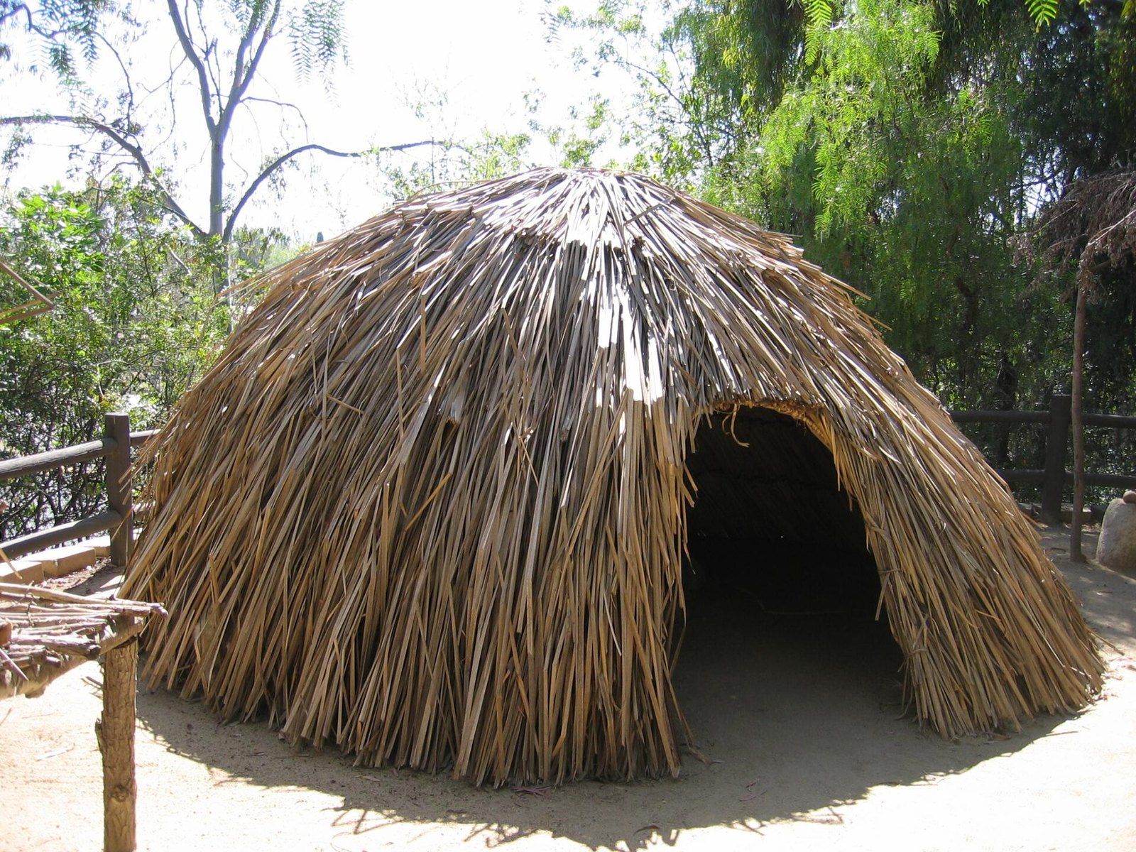
The Tongva and the Arroyo Seco
Tovaangar's villages, trails and acorn economy left traces that still frame what is known of the foothills.
-
 La Cañada Flintridge History
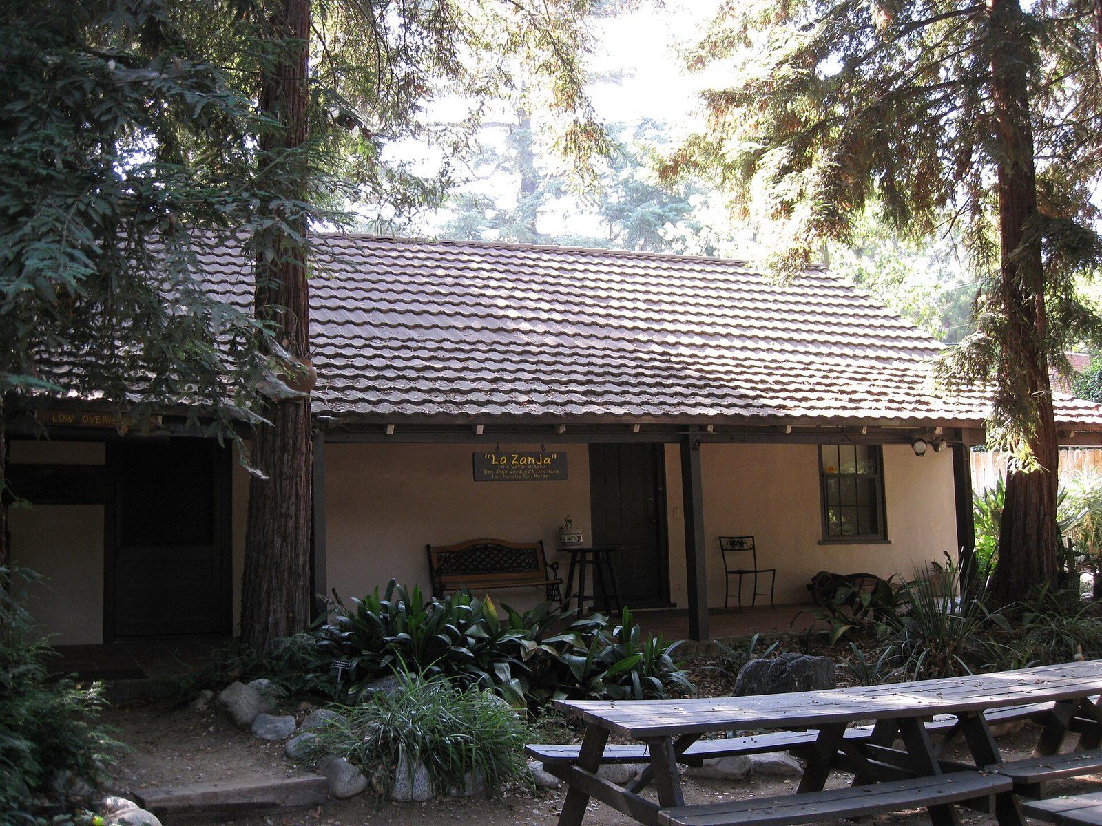
The Ranchos of the Crescenta Valley
From the Verdugo grant of 1784 to Briggs's ten acre lots and Flint's subdivision, the chain of title behind the valley.
-
 La Cañada Flintridge History
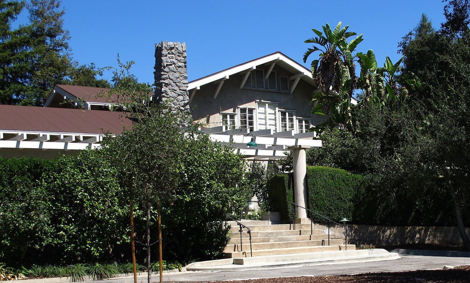
Lanterman House
A doctor's family home, a ballroom that waited decades for a dance, and the archive the town keeps inside its walls.
-
 La Cañada Flintridge History
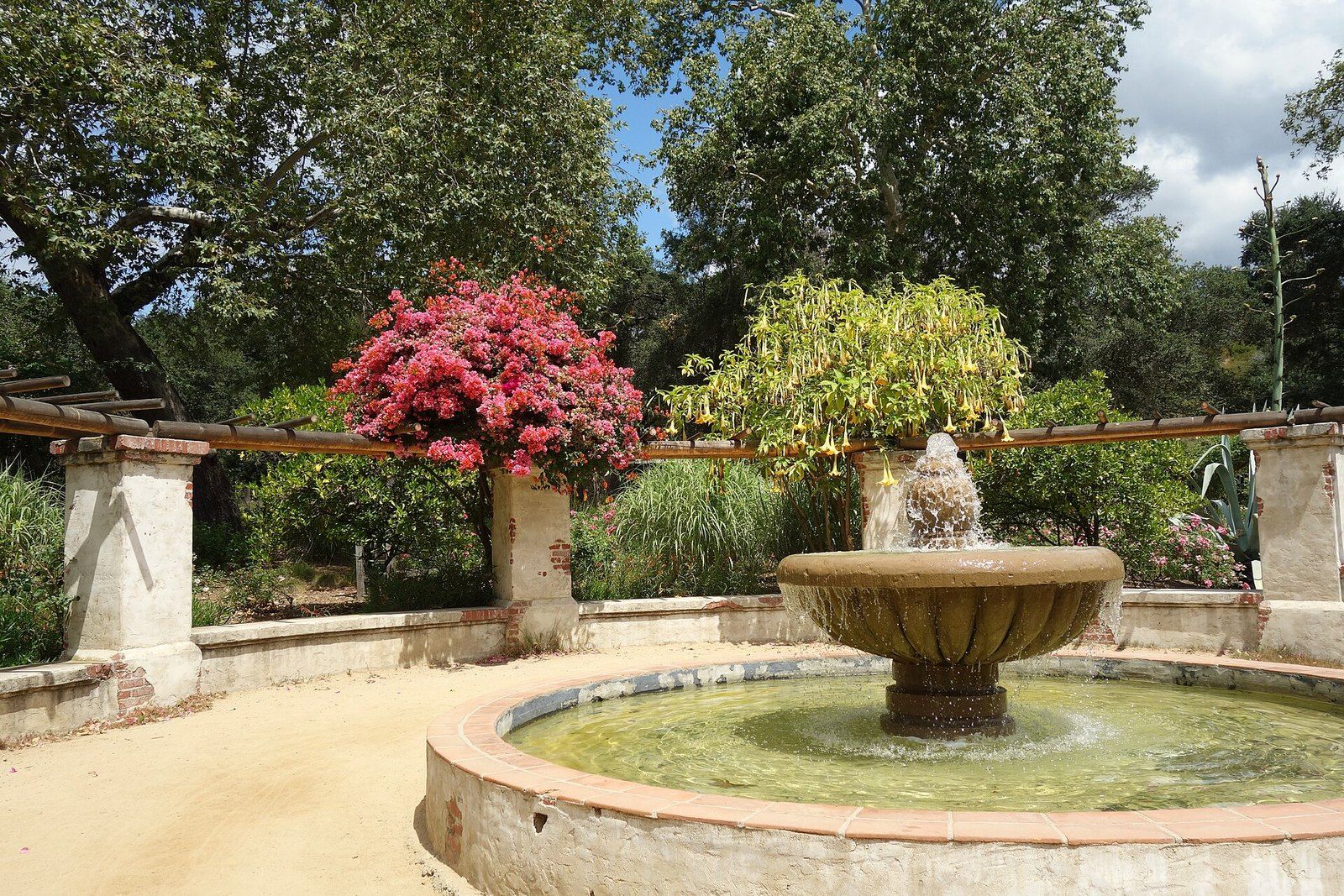
Descanso Gardens
A publisher's camellia estate under coast live oaks that the county bought and a guild turned into a garden of rooms.
-
 Architects of the Foothills
Myron Hunt
A Massachusetts born designer who settled in Pasadena in 1903 and left a villa, a stadium, campuses and a Riverside hotel wing.