
Hahamongna and Devil's Gate Dam
Contents
Mike Kobeissi has worked for three decades in the La Cañada Flintridge market, and the plain question readers bring to the gorge on its border with Pasadena is why a dam named for the devil stands at the foot of a park with a Tongva name. The short answer is that the two names belong to two different features of one narrow place. Devil’s Gate is the gorge and the dam built across it in 1920; Hahamongna is the basin above, an old lake bed that the dam turned back into a lake and then, as it silted, into open ground.2 3
The rock that named the gate
The gate is the narrowest stretch of the Arroyo Seco, and the devil is a rock. PBS SoCal’s guide to the region’s devilish places describes a natural outcrop in the gorge in which some visitors have seen a horned figure, now inside the Hahamongna Watershed Park between the Angeles National Forest and the Rose Bowl, near the Jet Propulsion Laboratory.2 A Geophile field trip stop at the dam warns that time and construction have all but erased the likeness, so the face is more legend than landmark.3 Visitors who want to look anyway have to leave the crest, take the stairs down and work through tunnels and undergrowth, or come south along the trails from the disc golf course in Oak Grove Park.2
A lake before the dam
The same field notes describe the basin north of the gate as a former lake, held back by a natural barrier of rock and sediment at the spot where the gate is now. At some point, for reasons no one knows, that barrier gave way and cut the gorge. The rapids that followed were said to make a laughing sound, which Tongva legend credits to a river spirit and a coyote, and that sound may be the root of the Hahamongna name.3 Angeles Adventures gives the meaning as fruitful valley, flowing waters, and notes that excavation for the Sheldon Reservoir in 1938, a short walk south of the dam, exposed an ancient burial ground with dozens of individuals and deliberately broken stone tools. Finds in the citrus groves nearby, turned up around the end of the nineteenth century, had already hinted that a village once stood here, and the recovered objects are now held by the Autry Museum of the American West.6 The people behind that record are the subject of the Tongva and the Arroyo Seco.
How the gate became a park
- Before the damA natural barrier holds back a lake in the basin, then bursts and cuts the gorge.
- 1914 and 1916Heavy storms tear through the Arroyo.
- 1920The county builds its first dam at the narrow gate.
- After 1920A lake forms again behind the wall, then fills with silt.
- NowThe silted basin is the Hahamongna Watershed Park.
The dam of 1920
Two destructive storm years, 1914 and 1916, set the county building.3 The Arroyo Seco Foundation’s photo history of the dam shows it under construction in 1920 as the first dam of the Los Angeles County district set up to manage storm runoff, designed both to hold back storm water and to conserve it. It filled soon after it was finished, and its crest served for many years as the main road between La Cañada and Pasadena; an aerial photograph of December 1935 shows water entering the basin from La Cañada through the Flynt Canyon wash beside a dense oak grove.1 The conservation pool lay below a natural mesa that the Jet Propulsion Laboratory would later occupy.1
Traffic stayed on top of the concrete arches until the Foothill Freeway opened in the 1960s and drew it away. The crest is now closed to motor vehicles and open to people on foot, who can look down at the habitat below, a little water and a good deal of mud.2
From reservoir to watershed park
The lake behind the dam did not last. It filled with silt and became what is now the Hahamongna Watershed Park.3 KCET’s report on the annual Hahamongna Walkabout describes 300 acres of open land at the point where mountain terrain meets the urban plain, sheltering many kinds of plants, birds and animals; the summer before, two Least Bell’s vireos, an endangered songbird subspecies, had turned up there.4
The walkabout itself shows how many uses the old lake bed now carries. In 2013 the Arroyo Seco Foundation placed learning stations every few minutes along the route, with local groups demonstrating them: the Rose Bowl Riders on horseback, the Oak Grove Disc Golf Club on what KCET calls the world’s first permanent basket disc golf course, and the Arroyo Seco Canyon Project with a primer on where the area’s water comes from. The Tom Sawyer Camps, which have used the basin since 1944, joined in with traditions handed down over seven decades.4 KCET’s look at the wider Arroyo counts five rare habitats in the Hahamongna watershed, and features it among the stories of the stream’s restoration.5 Downstream, the other large public work of the canyon in that era has its own entry, the Arroyo Seco Parkway.
The basin as a park
- of open ground in the Hahamongna Watershed Park
- 300 acres
- year the Tom Sawyer Camps began operating there
- 1944
- endangered Least Bell's vireos spotted in the summer before the 2013 walkabout
- 2
The basin’s history is regional; anyone weighing how the dam or the park bears on a specific property should take that to their own advisors. The terms below are the ones that recur in every account of the place.
A short glossary
- Devil’s Gate. The narrowest point of the Arroyo Seco gorge, named for a rock outcrop thought to resemble a horned devil.2
- Hahamongna. The Tongva name for the upper Arroyo, given as fruitful valley, flowing waters, and possibly tied to the laughing sound of old rapids.6 3
- Conservation pool. The water kept behind the dam in its early years, serving its second purpose of saving water as well as controlling it.1
- Silting. The settling of sediment behind a dam, which turned the reservoir here into dry, open ground.3
- Watershed park. Hahamongna’s present designation, an open basin managed for habitat and recreation together.4
References
- Arroyo Seco Foundation. Devil's Gate Dam.
- PBS SoCal. Where to Explore Iconic 'Devilish' Places in SoCal, 2019 01 17.
- Geophile Field Trips. Arroyo Seco Trip: Stop #6, Devils Gate Dam, 2016 01 01.
- KCET. Arroyo Seco Foundation's Annual Hahamongna Walkabout Adds Recreational Stations, 2013 03 21.
- KCET. Reimagining The Arroyo Seco, 2011 11 21.
- Angeles Adventures. Unearthing Hahamongna's Ancient Past, 2025 04 22.
External links
See also
-
 La Cañada Flintridge History
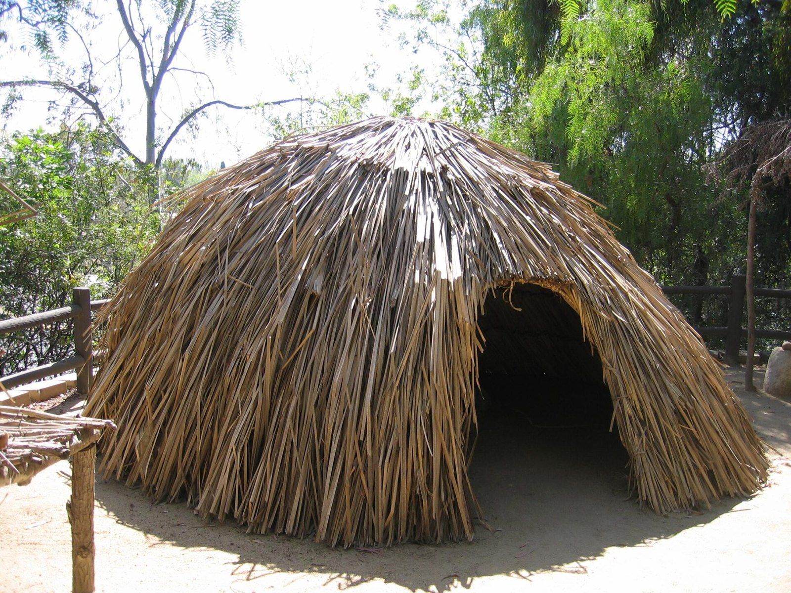
The Tongva and the Arroyo Seco
Tovaangar's villages, trails and acorn economy left traces that still frame what is known of the foothills.
-
 La Cañada Flintridge History
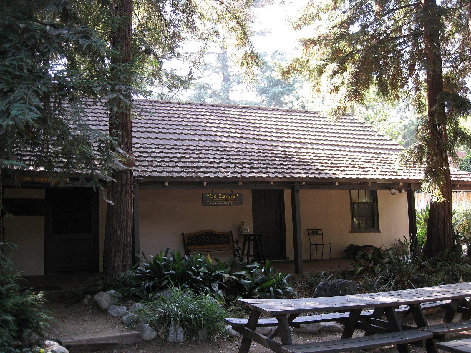
The Ranchos of the Crescenta Valley
From the Verdugo grant of 1784 to Briggs's ten acre lots and Flint's subdivision, the chain of title behind the valley.
-
 La Cañada Flintridge History
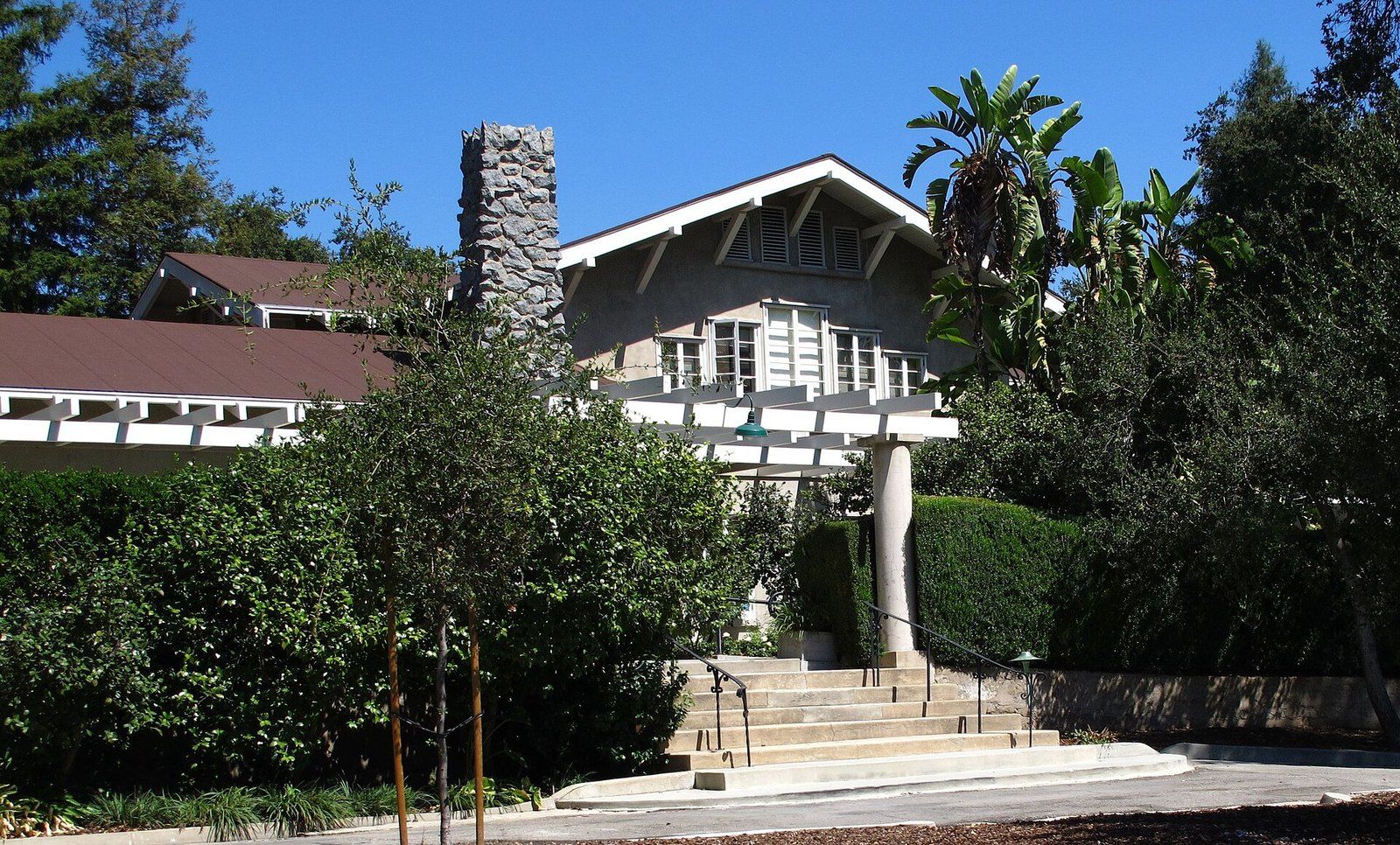
Lanterman House
A doctor's family home, a ballroom that waited decades for a dance, and the archive the town keeps inside its walls.
-
 La Cañada Flintridge History
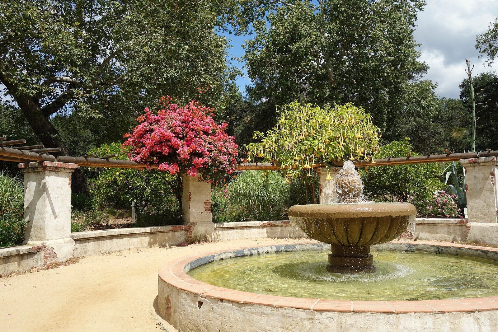
Descanso Gardens
A publisher's camellia estate under coast live oaks that the county bought and a guild turned into a garden of rooms.
-
 Architects of the Foothills
Myron Hunt
A Massachusetts born designer who settled in Pasadena in 1903 and left a villa, a stadium, campuses and a Riverside hotel wing.