
The San Gabriel Mountains
Contents
For three decades Mike Kobeissi has worked the La Cañada Flintridge market, and the San Gabriel Mountains form the high wall along the town’s northern side. The range is best understood from the rock outward. In its western part lies a Precambrian mass of anorthosite and related rocks that a Caltech thesis map places across about 250 square kilometers between the San Gabriel and San Andreas fault zones, some 30 kilometers north of Los Angeles.3 Everything else about the mountains, from their height to their jagged profile, follows from what has happened to that rock and its neighbors since.
An ancient core
The anorthosite syenite body formed about 1,200 million years ago, when it was intruded into older Mendenhall gneiss that had already been metamorphosed to granulite grade.3 The thesis describes a large layered intrusion, at least ten kilometers thick in the part now exposed, in which crystals sank to the floor of a magma chamber and built up the layers of anorthosite, gabbro and syenite seen today.3 Its rocks are uniformly rich in iron, and the study argues that at least two separately generated magmas may have combined to make the body.3
The western San Gabriels, oldest rock to youngest
- Mendenhall gneissOlder rock already metamorphosed to granulite grade.
- About 1.2 billion years agoThe anorthosite syenite body intrudes the gneiss as a large layered mass.
- Early TriassicThe Mount Lowe granodiorite intrudes the anorthosite.
- Late CretaceousThe Mount Josephine granodiorite follows.
- TertiarySeveral sets of faults cut the area; none shows Holocene activity.
Younger granites and old faults
Later rock pushed into the old core. The early Triassic Mount Lowe granodiorite and the late Cretaceous Mount Josephine granodiorite both intrude the anorthosite, which was also bent by broad folds of at least two ages.3 Several sets of faults cut the area during Tertiary time, though the thesis found none with evidence of Holocene movement, and it concluded that the San Gabriel fault must cut the body at depth and may have shifted anorthositic rock at least 28 kilometers sideways.3
The San Andreas on the north
The range sits against the boundary between two tectonic plates. KCET’s guide to the San Andreas Fault notes that the fault not only forms the northern boundary of the San Gabriel Mountains but also formed the mountains themselves.4 Its traces are easy to find: the Big Pines ranger station sits on the fault line, ground up rock called fault gouge lines the Big Pines Highway, and Jackson Lake in the national forest fills a basin created by the fault.4 At Devil’s Punchbowl, inside the fault zone, rock layers have been folded and tilted steeply by the same pressures.4
Uplift along the range front
The southern face, the one seen from the foothill towns, is driven by a different fault network. A U.S. Geological Survey study of the range front used landscape measurements and erosion rates from beryllium isotopes to show that its hillslopes and stream channels are adjusted to uplift from reverse slip on the Sierra Madre Cucamonga fault zone.1 Elevation, relief, erosion rate and channel steepness all rise from west to east across the interior of the range, but the study found that peak slip rates on the frontal faults do not, which suggests that secondary faults deeper in the range help lift its highest ground.1 The same work treats the zone as a chain of separate fault sections, with slip tapering toward their ends.1
Faster wearing than its neighbor
The range is also coming apart quickly. A Geological Society of America abstract comparing the San Gabriels with the San Bernardino Mountains to the east reports higher erosion in the San Gabriels, visible in their jagged, unpredictable topography against the smoother plateaus next door.2 The authors point to tectonic movement, rock type, steep slopes and rainfall as likely causes, noting that the San Gabriels receive about seven centimeters more precipitation a year.2
Two neighboring ranges
| San Gabriel Mountains | San Bernardino Mountains | |
|---|---|---|
| Erosion | Higher rates | Lower rates |
| Topography | Unpredictable and jagged | Smoother, broad plateaus |
| Precipitation | About 7 centimeters more each year | Less |
| Setting | Transverse Ranges, beside the San Andreas Fault | Transverse Ranges, beside the San Andreas Fault |
Named summits
The peaks carry the marks of the surveyors who mapped them. SFGATE recounts that in the mid 1870s members of the Army’s Wheeler Survey hauled their equipment up what they took to be the highest summit in the area, saw that San Gabriel Peak, half a mile east, stood 167 feet higher, and named their own perch Mount Disappointment.7 The survey was wrong twice, since nearby Strawberry Peak, at 6,145 feet, is now considered the highest point of the front range, while Mount Baldy in the back range rises above 10,000 feet as the highest point in Los Angeles County.7 In 1955 the Army flattened the top of Mount Disappointment for a Nike missile site.7 The odd name outlasted the error. In 1885 the writer Jeanne C. Carr described the peak in the Los Angeles Times after a trip up the Switzer Trail and remarked on a landscape in which some forty peaks could be seen at once.7
The first people of the range
Long before the surveyors, the mountains were part of an inhabited world. PBS SoCal’s history recounts a creation story in which a land god raised the hills and high mountains from Mount San Antonio, the summit better known as Mount Baldy, to hold back the sea.8 That peak marked an approximate boundary between Yuhaviatam, or Serrano, territory to the east and the Tongva to the west.8 Tongva villages in the valley sent seasonal parties up ancient footpaths to summer and autumn camps, and a network of trade routes led to landmarks such as Mount Wilson, Red Box Saddle and Millard Canyon, where people exchanged goods, songs and news.8 One large village, Asuksangna, stood near the mouth of San Gabriel Canyon, where the river carrying Mount San Antonio’s snowmelt leaves the range, and acorns gathered on the slopes were ground into meal in granite mortar holes that can still be found.8 The founding of Mission San Gabriel a few miles downriver in 1775 began the destruction of that world.8
A living landscape
The range holds an unusual concentration of life. The Wilderness Society counts about 300 California endemic plant species that grow only in the San Gabriels and describes their chaparral and oak woodland as part of a rare Mediterranean ecosystem found in about three percent of the world, the climate type described in the entry on the Mediterranean climate.9 Smithsonian magazine noted that the mountains shelter endangered species such as Nelson’s bighorn sheep and the spotted owl, and that the California condor, down to fewer than 25 birds in the wild in 1982, has been known to make its home there.6 Some 600 archaeological sites span 8,000 years of human history.9 National Geographic quoted a monument advocate describing a mix of Mediterranean climates that supports plant life from conifers and broadleaf trees to chaparral, and animals from pumas and coyotes to eagles, with the mountain yellow legged frog and a native fish, the Santa Ana sucker, among the endangered species.5
The range in numbers
- People living within a 90 minute drive
- 17 million
- California endemic plant species that grow only in this range
- 300
- Archaeological sites
- 600
- Span of human history those sites record
- 8,000 years
What changed and what did not
The legal map of the range changed on October 10, 2014, when 346,177 acres, mostly in the Angeles National Forest with a small share of the San Bernardino National Forest, became the San Gabriel Mountains National Monument, a designation that takes in four wilderness areas and the San Andreas Fault itself.10 National Geographic reported before the announcement that the mountains hold about 70 percent of the county’s open space and supply about a third of its drinking water, and Smithsonian described the whole range as 655,000 acres running from Santa Clarita to San Bernardino, roughly half of it inside the new boundary.56 Telescopes on Mount Wilson also sit inside it.10 What did not change is the geology. The faults that built the range still bound it, the front still rises on its reverse faults, and its steep slopes still wear away faster than those of its neighbor.12 For a particular property near the base of the mountains, questions about the ground and the setting belong with the reader’s own advisors and the specialists they bring in.
References
- U.S. Geological Survey. Fault activity in the San Gabriel Mountains, southern California, USA: Insights from landscape morphometrics, erosion rates, and fault slip rates, 2024 01 30.
- Geological Society of America. San Bernardino and San Gabriel Mountains: Comparing the Rate of Erosion and Possible Causes for Faster Erosion at the San Gabriel Mountain Range, 2023 03 13.
- CaltechDATA. Geology of the anorthosite syenite terrain, San Gabriel Mountains, Los Angeles County, California, 2022 09 07.
- KCET. Earthquake Tourism Along the San Andreas Fault, 2015 11 17.
- National Geographic. Newest National Monument Will Encompass Wild Mountains Near Los Angeles, 2014 08 10.
- Smithsonian Magazine. San Gabriel Mountains Designated A National Monument, 2014 10 10.
- SFGATE. 150 years ago, explorers gave this Calif. mountaintop the funniest possible name, 2024 02 16.
- PBS SoCal. The Indigenous Dawn of the San Gabriel Mountains, 2013 09 30.
- The Wilderness Society. National Monuments: San Gabriel Mountains.
- NPS History eLibrary. Park Archives: San Gabriel Mountains National Monument.
External links
See also
-
 The San Gabriel Foothills
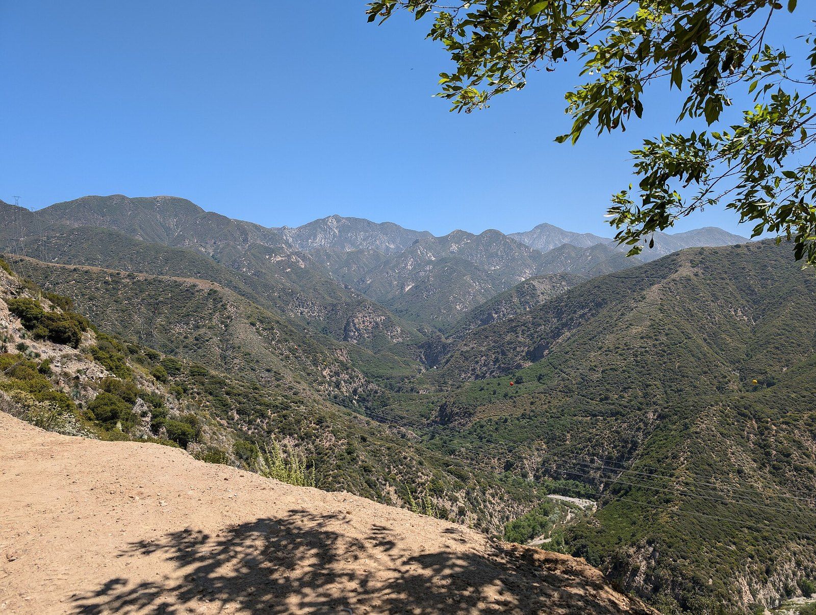
Angeles National Forest
Public land above the foothill towns, from an 1892 watershed reserve to trail camps, a mountain highway and a national monument.
-
 The San Gabriel Foothills
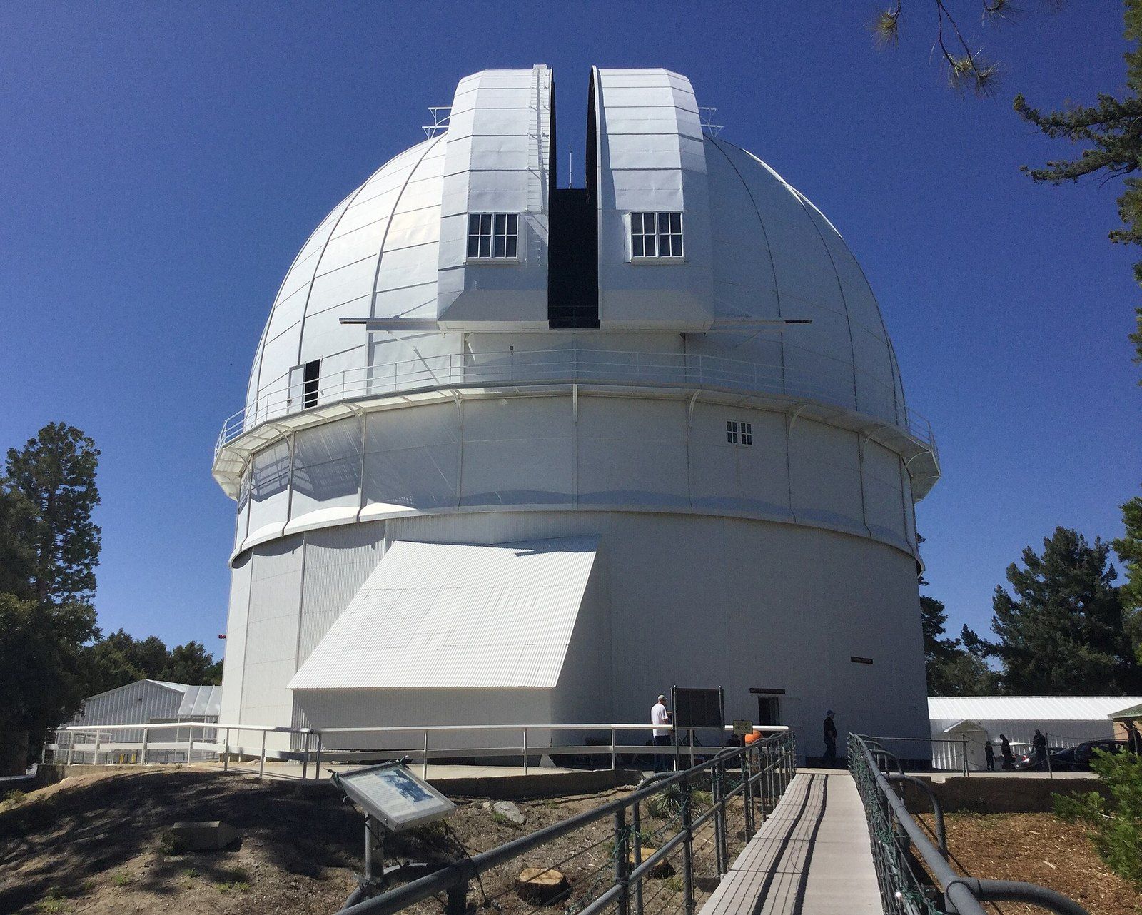
Mount Wilson Observatory
A mountaintop laboratory in the San Gabriels where big mirrors showed that the Milky Way is one galaxy among many.
-
 The San Gabriel Foothills
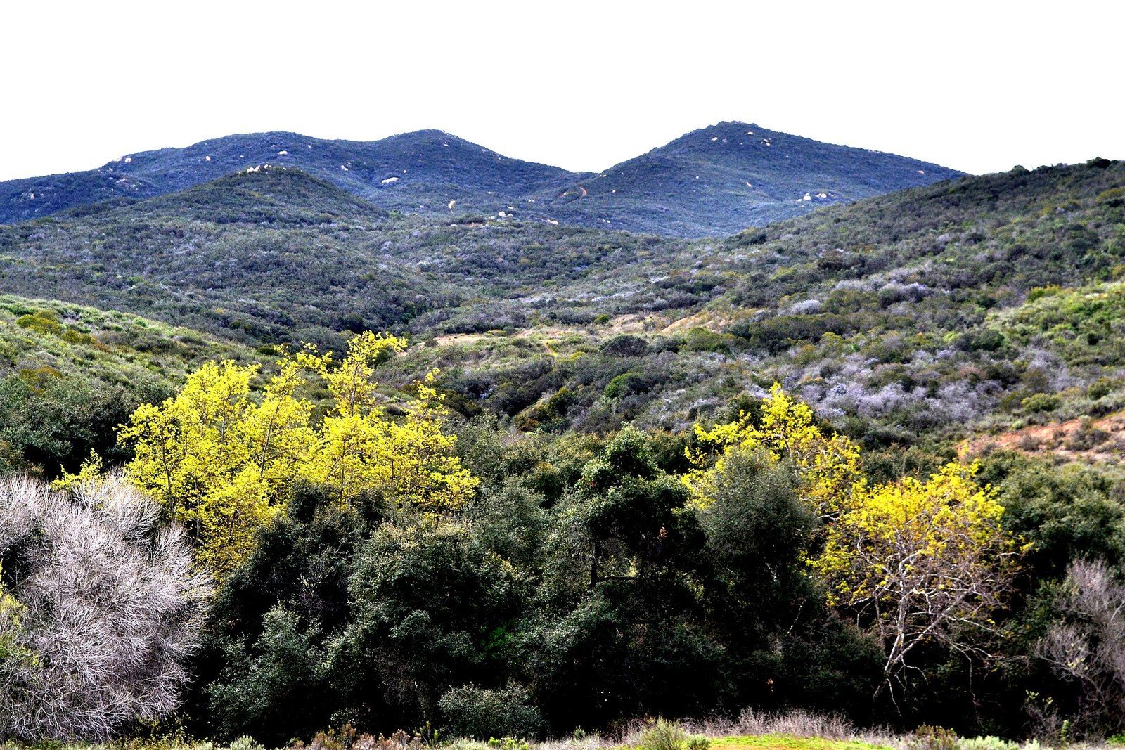
The Mediterranean Climate
Long rainless summers, short wet winters and the handful of west coast regions, from Chile to the Cape, that share them.